Surveying

Engineering Surveys
Road construction set-out
WAE and Conformance Surveys
Volume Calculations
Generating X-Sections and Profiles

Topographic & Detail Surveys
Detail Feature Surveys
3D Surveys of the built and natural environment

Utility Survey & 3D Modelling
Underground and above-ground utility surveys
Clash detection and model analysis
Generating BIM-ready 3D Utility models
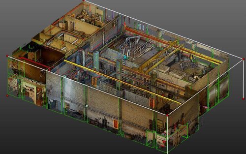
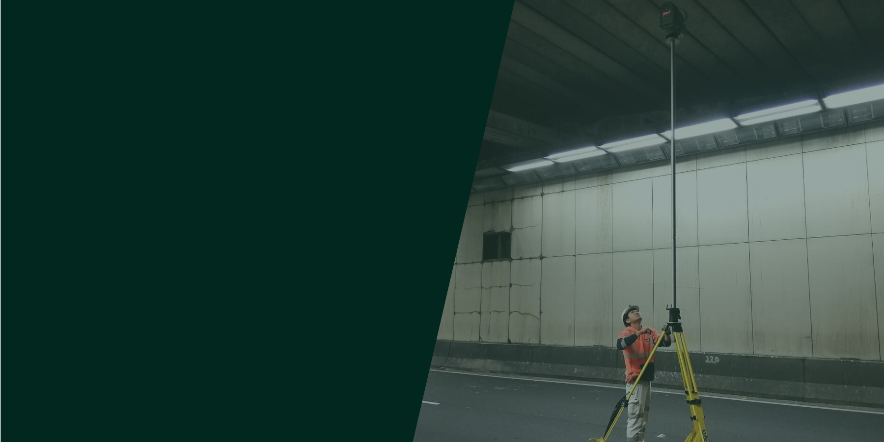
LIDAR & 3D Lasar Scanning
Terrestrial & Free Style 3D laser scanning of the internal and external areas of building, structure , roads and bridges, confined spaces, natural environment.
3D modelling and generating vertorized models and 3D solids for BIM and design purposes.